South Africans are set to experience another chilly winter’s day on Wednesday, with cold mornings and cool daytime temperatures continuing across much of the country. Conditions will remain mostly fine and cool, although colder and partly cloudy weather is expected over the western interior later in the week. This forecast signals a consistent pattern of winter conditions, prompting residents across various provinces to prepare for continued cool weather. The broader outlook for the week suggests that while many areas will maintain fine conditions, a shift towards more unsettled weather is anticipated for specific regions, particularly as the week progresses. The South African Weather Service (SAWS) has been monitoring these conditions closely, providing updates to ensure public awareness of the prevailing atmospheric patterns.
Wednesday's Temperature Snapshot Across the Nation
Wednesday's temperatures across South Africa will present a varied picture, with several cities experiencing cool conditions. In Gauteng, Johannesburg is expected to reach a high of only 17°C, with overnight lows dropping to 7°C. This makes for a notably cool day in the country's economic hub. Pretoria, the administrative capital, anticipates a maximum temperature of 19°C, following morning lows of 9°C, indicating a similar trend of crisp mornings and mild daytime conditions.
Moving to the Western Cape, Cape Town will see temperatures ranging from 11°C to 20°C. This coastal city is known for its moderate climate, and these figures reflect a typical winter day. Durban, in KwaZulu-Natal, will experience warmer conditions compared to the inland provinces, with a high of 22°C and an overnight low of 16°C. This makes Durban one of the warmer spots in the country for the day. Bloemfontein in the Free State will encounter particularly cold morning temperatures, near freezing at around 3°C, rising to a daytime high of 19°C. The significant diurnal range in Bloemfontein notes the typical continental climate experienced in the central interior.
Polokwane, located in Limpopo, is forecast to have temperatures between 7°C and 21°C. This Northern city will also experience cool mornings before warming up to a comfortable afternoon. Upington in the Northern Cape is expected to record the warmest daytime temperature at 23°C, after starting the day at 4°C. The desert climate of Upington often leads to such wide temperature swings between night and day.
Along the Eastern Cape coast, Gqeberha will see temperatures from 12°C to 21°C. East London, also in the Eastern Cape, will reach a high of 22°C, with minimum temperatures around 15°C. The warmest daytime temperatures across the country are primarily expected in Upington (23°C), Durban (22°C), and East London (22°C), offering a brief respite from the widespread cold. These coastal and northern regions often provide a contrast to the colder inland areas during winter.
Regional Weather Variations and Outlook
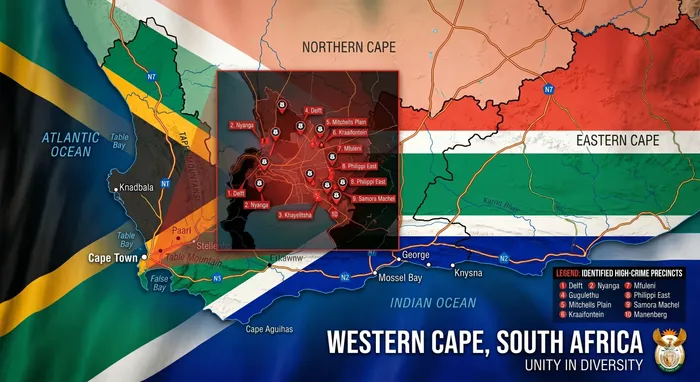
Cape Town, in the Western Cape, is expected to maintain relatively mild conditions, with temperatures holding around 20°C. Stable winter weather is anticipated throughout the Western Cape province, meaning residents can expect consistent, albeit cool, conditions without major fluctuations. This forecast indicates a consistent pattern for the region, differing from the colder conditions projected for other parts of the country. The Western Cape's climate often presents unique variations compared to inland areas, even during winter months, largely due to its coastal proximity and prevailing weather systems. While many regions prepare for colder fronts and more extreme temperature drops, the moderating influence of the ocean in the Western Cape contributes to these more temperate conditions. This stability provides a predictable weather environment for residents and visitors alike, contrasting with the more volatile weather patterns seen elsewhere.
Looking Ahead: Weekend Forecast and Potential Shifts
Conditions could become more unsettled from Thursday into Friday, with partly cloudy and colder weather anticipated over the western interior. This shift marks a departure from the predominantly fine and cool conditions experienced earlier in the week. Forecasts indicate the possibility of isolated to scattered rain and thundershowers in some areas, contributing to the shift in weather patterns across South Africa. This change follows a period of stable, albeit cold, conditions earlier in the week, suggesting a more dynamic weather front moving in. The South African Weather Service (SAWS) advises residents in affected regions to prepare for more variable weather over the coming days, particularly those in the western interior where the cold and cloud cover are expected to be most prominent. This includes potential for precipitation, which could further lower perceived temperatures and impact daily activities. The progression of these weather systems will be closely monitored by meteorological authorities.
Public Engagement Encouraged by SAWS
The South African Weather Service (SAWS) has actively encouraged South Africans to share photos documenting winter conditions in their localities. This initiative asks for images depicting frost, misty mornings, and frozen windscreens, illustrating what winter looks like across different areas of the country. By inviting public participation, SAWS aims to create a full visual record of the diverse winter experiences across the nation. This community engagement not only provides valuable anecdotal evidence of local conditions but also fosters a sense of shared experience among residents during the colder months. The collected images will offer a unique perspective on the varying intensity and characteristics of winter from one region to another, complementing the scientific data gathered by the service.